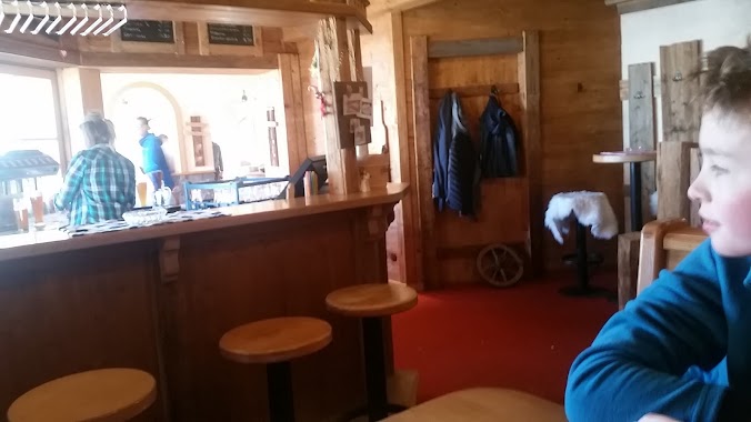
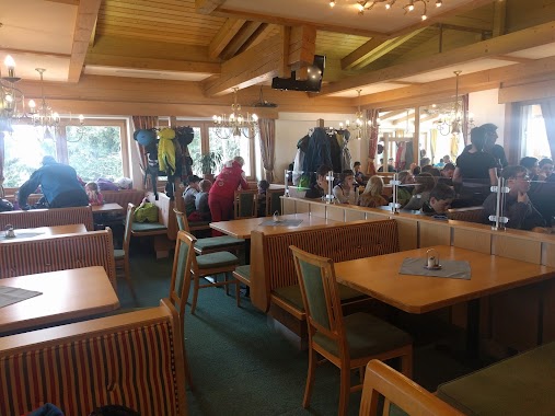
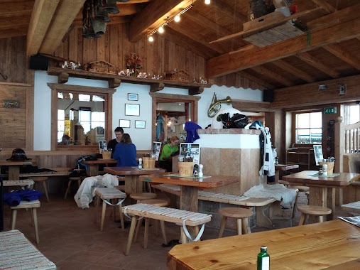
Restaurant nearby Tanzbodenalm Gastronomie GmbH
Austria
Restaurant nearby Tanzbodenalm Gastronomie GmbH
Tanzbodenalm Gastronomie GmbH
Bromberg 35a, Söll Österreich
contacts phone
:
+43
Latitude:
47.488604
, Longitude:
12.252437
read more
nearest Restaurant
239 m
Skihütte Marchental
Bromberg 35a, Söll
Restaurant
read more
351 m
Bergrestaurant Brandstadl
Schwarzach 2, Scheffau am Wilden Kaiser
Restaurant
read more
860 m
Sunseitdirndler
Bromberg 34c, Söll
Restaurant
read more
993 m
Kummerer Alm
Weißachgraben 40, Ellmau
Restaurant
read more
1.019 km
Aualm
Bromberg 36, Söll
Restaurant
read more
1.117 km
Berggasthof Jochstubn
Weißachgraben 42, Ellmau
Restaurant
read more
1.248 km
Bergrestaurant Neualm
Berg 18a, Söll
Restaurant
read more
1.248 km
Bergrestaurant Neualm
Berg 19, Söll
Restaurant
read more
1.511 km
Hartkaiser
Ellmau
Restaurant
read more
1.59 km
Bergkaiser Restaurant
Unnamed Road, 6352, Ellmau
Restaurant
read more
1.92 km
Gasthaus Holzalm
Zinsberg 16, Sonnberg
Restaurant
read more
2.062 km
Alpengasthof Jägerhütte
Faistenbichl 47, Ellmau
Restaurant
read more
2.232 km
Biwak
Zinsberg 4a, Sonnberg
Restaurant
read more
2.462 km
Rübezahl-Alm
Faistenbichl 42, Ellmau am Wilden Kaiser
Restaurant
read more
2.584 km
Köpflinghof
Bromberg 22
Restaurant
read more
2.819 km
Brantlalm
Brixen im Thale
Restaurant
read more
2.823 km
Brantl Alm
Oberer Sonnberg 82, Brixen im Thale
Restaurant
read more
3.247 km
Speckalm
Buchberg 45, Brixen im Thale
Restaurant
read more
3.667 km
Scheffauerhof
Blaiken 68, Scheffau am Wilden Kaiser
Restaurant
read more
3.708 km
Filzalm Jausenstation
Filz 24, Sonnberg
Restaurant
read more
3.771 km
Pizzeria Donatello
Am Trattenbach 6, Scheffau am Wilden Kaiser
Restaurant
read more
4.576 km
Ristorante Teramia
Dorf 7, Ellmau
Restaurant
read more
4.762 km
The Campers
Badhausweg 9
Restaurant
read more
4.889 km
Brenneralm
Ellmau
Restaurant
read more
6.547 km
Kirchberg+strassheck
Kirchberg in Tirol
Restaurant
read more
📑
all categories
Accounting
Administrative area level 1
Administrative area level 2
Airport
Amusement park
Aquarium
Art gallery
Atm
Bakery
Bank
Bar
Beauty salon
Bicycle store
Book store
Bowling alley
Bus station
Cafe
Campground
Car dealer
Car rental
Car repair
Car wash
Casino
Cemetery
Church
City hall
Clothing store
Colloquial area
Convenience store
Country
Courthouse
Dentist
Department store
Doctor
Electrician
Electronics store
Embassy
Finance
Fire station
Florist
Food
Funeral home
Furniture store
Gas station
General contractor
Grocery or supermarket
Gym
Hair care
Hardware store
Health
Hindu Temple
Home goods store
Hospital
Insurance agency
Jewelry store
Laundry
Lawyer
Library
Light rail station
Liquor store
Local government office
Locality
Locksmith
Lodging
Meal delivery
Meal takeaway
Mosque
Movie rental
Movie theater
Moving company
Museum
Natural feature
Neighborhood
Night club
Painter
Park
Parking
Pet store
Pharmacy
Physiotherapist
Place of worship
Plumber
Point of interest
Police
Political
Post office
Premise
Real estate agency
Restaurant
Roofing contractor
Route
Rv park, camping
School
Shoe store
Shopping mall
Spa
Stadium
Storage
Store
Subpremise
Subway station
Supermarket
Synagogue
Taxi stand
Train station
Transit station
Travel agency
University
Veterinary care
Zoo
administrative area level 3
sublocality level 1
↑