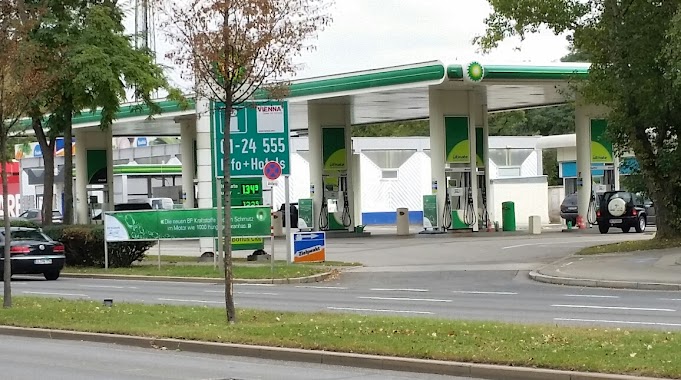
Gas station nearby BP
Austria
Gas station nearby BP
BP
Altmannsdorfer Straße 94, Wien Austria
contacts phone
:
+43
Latitude:
48.162408
, Longitude:
16.317159
read more
nearest Gas station
178 m
Kaiser Handels GmbH
Altmannsdorfer Straße 117, Wien
Gas station
read more
184 m
BP
Altmannsdorfer Straße 117, Wien
Gas station
read more
880 m
Turmöl
Altmannsdorfer Straße 150, Wien
Gas station
read more
1.752 km
DISKONT Tankstelle am HOFER Parkplatz
Breitenfurter Straße 261 (am HOFER Parkplatz
Gas station
read more
1.76 km
FE-Trading GmbH (Diskont Tankstelle am Hofer Parkplatz)
Breitenfurter Straße 259-261, Wien
Gas station
read more
1.882 km
Windbrechtinger Alois - Nfg Rosenthal GnbR
Vivenotgasse 53, Wien
Gas station
read more
1.94 km
BP
Triester Straße 153, Wien
Gas station
read more
1.943 km
BP Tankstelle Walter Leitner
Triester Straße 153, Wien
Gas station
read more
1.972 km
Tankstelle
Ruckergasse 34, Wien
Gas station
read more
1.974 km
eni ServiceStation
Bonygasse 47, Wien
Gas station
read more
2.029 km
Turmöl
Tivoligasse 53, Wien
Gas station
read more
2.289 km
Turmöl
Rauchgasse 4-6, Wien
Gas station
read more
2.624 km
Nemec Diskont
Hollergasse 7, Wien
Gas station
read more
2.671 km
Turmöl
Eichenstraße 2B, Wien
Gas station
read more
2.768 km
Avanti Tankstelle
Eichenstraße 3A, Wien
Gas station
read more
2.78 km
Turmöl mit Nah&Frisch Punkt
Schönbrunner Straße 213, Wien
Gas station
read more
2.795 km
加油站
Schönbrunner Straße 211, Wien
Gas station
read more
3.206 km
BP Austria Marketing GmbH
Margaretengürtel 43-45, Wien
Gas station
read more
3.206 km
BP Tankstelle Weitgasser Christian
Margaretengürtel 43-45, Wien
Gas station
read more
3.252 km
BP
Gaudenzdorfer Gürtel 75, Wien-Meidling
Gas station
read more
3.253 km
BP Tankstelle Johann Schwarz e.U.
Gaudenzdorfer Gürtel 75, Wien-Meidling
Gas station
read more
3.392 km
Mr. Andreas Weltler
Giessaufgasse 27, Wien
Gas station
read more
3.586 km
Strohmeier Tankstelle
Am Hundsturm 2-4, Wien
Gas station
read more
3.592 km
Diskont Strohmeier
Am Hundsturm 2, Wien-Margareten
Gas station
read more
4.152 km
JET
Laxenburger Straße 248, Wien
Gas station
read more
📑
all categories
Accounting
Administrative area level 1
Administrative area level 2
Airport
Amusement park
Aquarium
Art gallery
Atm
Bakery
Bank
Bar
Beauty salon
Bicycle store
Book store
Bowling alley
Bus station
Cafe
Campground
Car dealer
Car rental
Car repair
Car wash
Casino
Cemetery
Church
City hall
Clothing store
Colloquial area
Convenience store
Country
Courthouse
Dentist
Department store
Doctor
Electrician
Electronics store
Embassy
Finance
Fire station
Florist
Food
Funeral home
Furniture store
Gas station
General contractor
Grocery or supermarket
Gym
Hair care
Hardware store
Health
Hindu Temple
Home goods store
Hospital
Insurance agency
Jewelry store
Laundry
Lawyer
Library
Light rail station
Liquor store
Local government office
Locality
Locksmith
Lodging
Meal delivery
Meal takeaway
Mosque
Movie rental
Movie theater
Moving company
Museum
Natural feature
Neighborhood
Night club
Painter
Park
Parking
Pet store
Pharmacy
Physiotherapist
Place of worship
Plumber
Point of interest
Police
Political
Post office
Premise
Real estate agency
Restaurant
Roofing contractor
Route
Rv park, camping
School
Shoe store
Shopping mall
Spa
Stadium
Storage
Store
Subpremise
Subway station
Supermarket
Synagogue
Taxi stand
Train station
Transit station
Travel agency
University
Veterinary care
Zoo
administrative area level 3
sublocality level 1
↑