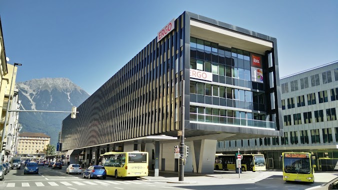
Bus station nearby Innsbruck Innrain/Campus WIFI
Austria
Bus station nearby Innsbruck Innrain/Campus WIFI
Innsbruck Innrain/Campus WIFI
Austria Österreich
contacts phone
:
+43
Latitude:
47.257004
, Longitude:
11.378223
read more
nearest Bus station
304 m
Innsbruck Mitterweg/Unterführung
Austria
Bus station
read more
695 m
Innsbruck Studentenhaus/Chirurgie
Austria
Bus station
read more
990 m
Innsbruck Höttinger Au/West
Austria
Bus station
read more
994 m
Innsbruck Peterbrünnl (Völser Straße)
Austria
Bus station
read more
1.005 km
Innsbruck Klinik/Universität
Austria
Bus station
read more
1.155 km
Innsbruck Maximilianstraße
Austria
Bus station
read more
1.186 km
Innsbruck Landesgericht
Austria
Bus station
read more
1.231 km
Innsbruck Finanzamt
Austria
Bus station
read more
1.365 km
Innsbruck Michael-Gaismair-Straße
Austria
Bus station
read more
1.379 km
Innsbruck Terminal Marktplatz
Austria
Bus station
read more
1.397 km
Innsbruck Vögelebichl
Austria
Bus station
read more
1.435 km
Innsbruck Schidlachstraße
Innsbruck
Bus station
read more
1.612 km
Innsbruck Sonnenburgerhof/Tirol Panorama (B182)
Austria
Bus station
read more
1.637 km
Innsbruck, Innsbruck Südbahnstraße
Austria
Bus station
read more
1.661 km
Innsbruck Hbf (Heiliggeiststraße)
Austria
Bus station
read more
1.701 km
Innsbruck Hbf (Busbahnhof Steig G)
Austria
Bus station
read more
1.717 km
Innsbruck Museumstraße
Austria
Bus station
read more
1.732 km
Innsbruck Hbf (Busbahnhof Steig F)
Austria
Bus station
read more
1.735 km
Innsbruck Hbf (Busbahnhof Steig D)
Austria
Bus station
read more
1.838 km
Innsbruck Hbf (Südtiroler Platz Steig A)
Austria
Bus station
read more
1.892 km
Natters Natterer Auffahrt
Austria
Bus station
read more
1.95 km
Innsbruck Congress/Hofburg
Austria
Bus station
read more
2.094 km
Innsbruck Ziegelei/Haftanstalt
Austria
Bus station
read more
2.125 km
Innsbruck Sillpark (Weinhartstraße)
Austria
Bus station
read more
2.172 km
Innsbruck Sillpark (König-Laurin-Straße)
Austria
Bus station
read more
📑
all categories
Accounting
Administrative area level 1
Administrative area level 2
Airport
Amusement park
Aquarium
Art gallery
Atm
Bakery
Bank
Bar
Beauty salon
Bicycle store
Book store
Bowling alley
Bus station
Cafe
Campground
Car dealer
Car rental
Car repair
Car wash
Casino
Cemetery
Church
City hall
Clothing store
Colloquial area
Convenience store
Country
Courthouse
Dentist
Department store
Doctor
Electrician
Electronics store
Embassy
Finance
Fire station
Florist
Food
Funeral home
Furniture store
Gas station
General contractor
Grocery or supermarket
Gym
Hair care
Hardware store
Health
Hindu Temple
Home goods store
Hospital
Insurance agency
Jewelry store
Laundry
Lawyer
Library
Light rail station
Liquor store
Local government office
Locality
Locksmith
Lodging
Meal delivery
Meal takeaway
Mosque
Movie rental
Movie theater
Moving company
Museum
Natural feature
Neighborhood
Night club
Painter
Park
Parking
Pet store
Pharmacy
Physiotherapist
Place of worship
Plumber
Point of interest
Police
Political
Post office
Premise
Real estate agency
Restaurant
Roofing contractor
Route
Rv park, camping
School
Shoe store
Shopping mall
Spa
Stadium
Storage
Store
Subpremise
Subway station
Supermarket
Synagogue
Taxi stand
Train station
Transit station
Travel agency
University
Veterinary care
Zoo
administrative area level 3
sublocality level 1
↑