Campground nearby Dauercamping Rappoltenkirchen
Austria
Campground nearby Dauercamping Rappoltenkirchen
Dauercamping Rappoltenkirchen
Kreuthstraße 5, Sieghartskirchen Österreich
contacts phone
:
+43
Latitude:
48.2278213
, Longitude:
16.0117826
read more
nearest Campground
100 m
Georg Kurzbauer
Kreuthstraße 5, Rappoltenkirchen
Campground
read more
145 m
Campingplatz Rappoltenkirchen
Rappoltenkirchen
Campground
read more
12.31 km
Camping Bank
Hafenstraße 4, Tulln an der Donau
Campground
read more
12.4 km
Donaupark Camping Tulln
Donaulände 76, Tulln an der Donau
Campground
read more
23.124 km
Camping Wien Süd
Breitenfurter Straße 269-279, Wien
Campground
read more
25.125 km
Donaupark Camping Klosterneuburg
In der Au 1, Klosterneuburg
Campground
read more
26.148 km
Camping am See
Bimbo-Binder-Promenade 15, Sankt Pölten
Campground
read more
26.722 km
Camping BetriebsgesmbH & Co KG
Frankenberggasse 2-4, Wien
Campground
read more
32.321 km
Camping Neue Donau
Campingplatz Ost, Wien
Campground
read more
33.433 km
Familie Ettenauer
Untere Hauptstraße 35, Rohrendorf bei Krems
Campground
read more
33.44 km
Familie Ettenauer
Untere Hauptstraße 31a, Rohrendorf bei Krems
Campground
read more
36.622 km
Donaupark Camping Krems
Yachthafenstrasse19, Krems an der Donau
Campground
read more
37.022 km
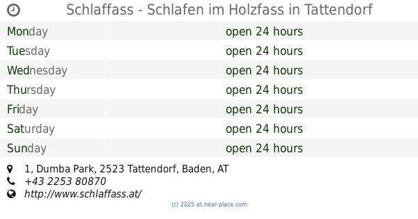
Schlaffass - Schlafen im Holzfass
Dumba Park 1, Tattendorf
Campground
read more
37.404 km
ÖAMTC - Zweigverein Krems
Parz.1489/13, Krems-Stein
Campground
read more
40.885 km
Campingplatz Rossatz
Rossatzbach 21, Rossatzbach
Campground
read more
44.726 km
Hohe Wand Blick - Camp
Hohe Wand-Straße 188, Maiersdorf
Campground
read more
48.922 km
Camping Strandbad Neufeldersee
Eisenstädter-Straße, Neufeld an der Leitha
Campground
read more
51.744 km
Wohnmobile Khas - Wohnmobilestellplatz
Niederranna 1, Niederranna
Campground
read more
58.952 km
Jugendlager Altpölla
Altpölla
Campground
read more
62.137 km
Kleinregion Kampseen
Neupölla 4, Neupölla
Campground
read more
📑
all categories
Accounting
Administrative area level 1
Administrative area level 2
Airport
Amusement park
Aquarium
Art gallery
Atm
Bakery
Bank
Bar
Beauty salon
Bicycle store
Book store
Bowling alley
Bus station
Cafe
Campground
Car dealer
Car rental
Car repair
Car wash
Casino
Cemetery
Church
City hall
Clothing store
Colloquial area
Convenience store
Country
Courthouse
Dentist
Department store
Doctor
Electrician
Electronics store
Embassy
Finance
Fire station
Florist
Food
Funeral home
Furniture store
Gas station
General contractor
Grocery or supermarket
Gym
Hair care
Hardware store
Health
Hindu Temple
Home goods store
Hospital
Insurance agency
Jewelry store
Laundry
Lawyer
Library
Light rail station
Liquor store
Local government office
Locality
Locksmith
Lodging
Meal delivery
Meal takeaway
Mosque
Movie rental
Movie theater
Moving company
Museum
Natural feature
Neighborhood
Night club
Painter
Park
Parking
Pet store
Pharmacy
Physiotherapist
Place of worship
Plumber
Point of interest
Police
Political
Post office
Premise
Real estate agency
Restaurant
Roofing contractor
Route
Rv park, camping
School
Shoe store
Shopping mall
Spa
Stadium
Storage
Store
Subpremise
Subway station
Supermarket
Synagogue
Taxi stand
Train station
Transit station
Travel agency
University
Veterinary care
Zoo
administrative area level 3
sublocality level 1
↑