Fire station nearby Groupwatch eating
Austria
Fire station nearby Groupwatch eating
Groupwatch eating
Speisinger Straße 36, Wien Österreich
contacts phone
:
+43
Latitude:
48.1704393
, Longitude:
16.2853461
read more
nearest Fire station
Gruppenwache Speising
Speisinger Straße 36, Wien
Fire station
read more
2.53 km
Feuerwehr Stadt Wien Penzing
Nisselgasse 14, Wien
Fire station
read more
2.531 km
Gruppenwache Penzing
Nisselgasse 14, Wien-Penzing
Fire station
read more
2.769 km
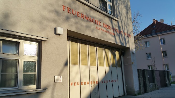
Gruppenwache Altmannsdorf
Rothenburgstraße 1, Wien-Meidling
Fire station
read more
4.055 km
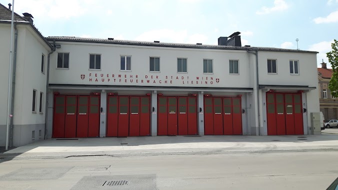
Hauptfeuerwache Liesing
Siebenhirtenstraße 8, Wien-Liesing
Fire station
read more
4.058 km
Feuerwehr und Katastrophenschutz - Feuerwache Liesing
Siebenhirtenstraße 8-10, Wien
Fire station
read more
4.173 km
Schindler
Wienerbergstraße 21, Wien-Favoriten
Fire station
read more
4.536 km
FEUERWEHR WIEN
Gumpendorfer Gürtel 2, Wien
Fire station
read more
4.537 km
Hauptfeuerwache Mariahilf
Gumpendorfer Gürtel 2, Wien-Mariahilf
Fire station
read more
4.982 km
Group Guard Steinhof firefighters
Johann-Staud-Straße 75, Wien-Ottakring
Fire station
read more
4.982 km
Gruppenwache Steinhof Feuerwehr
Johann-Staud-Straße 75, Wien-Ottakring
Fire station
read more
5.643 km
Hauptfeuerwache Hernals "H"
Johann-Nepumuk-Berger-Platz 12, Wien
Fire station
read more
5.643 km
Hauptfeuerwache Hernals
Johann-Nepumuk-Berger-Platz 12, Wien
Fire station
read more
7.676 km
Zentralfeuerwache
Am Hof 9, Wien-Innere Stadt
Fire station
read more
8.752 km
Hennersdorf
Bachgasse 84, Hennersdorf bei Wien
Fire station
read more
9.114 km
Dipl.Ing. Pausa
Gatterburggasse 10, Wien
Fire station
read more
9.524 km
Feuerwehr Der Stadt wein
Baumgasse 89, Wien
Fire station
read more
10.101 km
Hinterbrühl
Parkstraße 39, Hinterbrühl
Fire station
read more
11.189 km
Volunteer Fire Department Weissenbach
Weissenbach 106, Weissenbach bei Mödling
Fire station
read more
11.189 km
Weissenbach bei Mödling
Weissenbach 106, Hinterbrühl
Fire station
read more
11.618 km
Billa DienstleistungsgesmbH
IZ NÖ-Süd Straße 3 3-33
Fire station
read more
12.061 km
Freiwillige Feuerwehr Laxenburg
Herbert Rauch-Gasse 2, Laxenburg
Fire station
read more
12.8 km
Feuerwehr Maria Lanzendorf
Himberger Straße 4, Maria Lanzendorf
Fire station
read more
13.927 km
ÖBB
Winkeläckerstraße 9, Wien-Floridsdorf
Fire station
read more
15.876 km
Gruppenwache Strebersdorf
Strebersdorfer Platz 1, Wien-Floridsdorf
Fire station
read more
📑
all categories
Accounting
Administrative area level 1
Administrative area level 2
Airport
Amusement park
Aquarium
Art gallery
Atm
Bakery
Bank
Bar
Beauty salon
Bicycle store
Book store
Bowling alley
Bus station
Cafe
Campground
Car dealer
Car rental
Car repair
Car wash
Casino
Cemetery
Church
City hall
Clothing store
Colloquial area
Convenience store
Country
Courthouse
Dentist
Department store
Doctor
Electrician
Electronics store
Embassy
Finance
Fire station
Florist
Food
Funeral home
Furniture store
Gas station
General contractor
Grocery or supermarket
Gym
Hair care
Hardware store
Health
Hindu Temple
Home goods store
Hospital
Insurance agency
Jewelry store
Laundry
Lawyer
Library
Light rail station
Liquor store
Local government office
Locality
Locksmith
Lodging
Meal delivery
Meal takeaway
Mosque
Movie rental
Movie theater
Moving company
Museum
Natural feature
Neighborhood
Night club
Painter
Park
Parking
Pet store
Pharmacy
Physiotherapist
Place of worship
Plumber
Point of interest
Police
Political
Post office
Premise
Real estate agency
Restaurant
Roofing contractor
Route
Rv park, camping
School
Shoe store
Shopping mall
Spa
Stadium
Storage
Store
Subpremise
Subway station
Supermarket
Synagogue
Taxi stand
Train station
Transit station
Travel agency
University
Veterinary care
Zoo
administrative area level 3
sublocality level 1
↑