Gym nearby clever fit
Austria
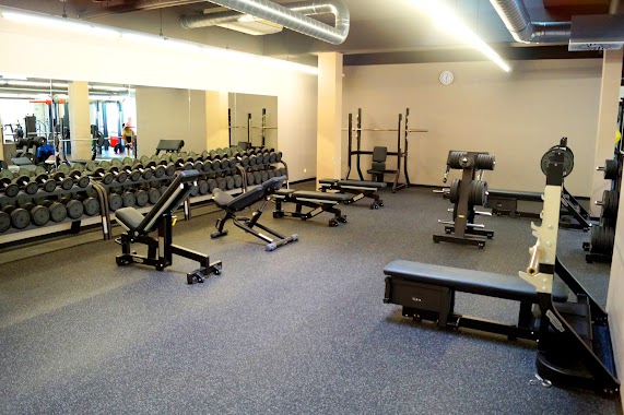
Gym nearby clever fit
clever fit
15-17, Markhofgasse, 1030, Wien, AT Österreich
contacts phone
:
+43 1 7962467
website:
www.clever-fit.com
Latitude:
48.19361
, Longitude:
16.4083819
larger map & directions
read more
nearest Gym
119 m
Bodyforming-Studio (Spechtenhauser Margot Dipl.-Ing.)
Markhofgasse 1-9, Wien
Gym
read more
208 m
INJOY Health Club Wien
Schnirchgasse 12, Wien
Gym
read more
208 m
INJOY Fitness- und Wellnessclub Wien
Schnirchgasse 12, Wien
Gym
read more
247 m
HCK Fitness
Schlachthausgasse 3, Wien
Gym
read more
263 m
Asylantencurbs
Erdbergstraße 186-190, Wien
Gym
read more
309 m
Göcsej Sportlövész Egyesület LŐTÉR
48°11'30. 16°24'18., Vierte Gasse 8
Gym
read more
356 m
VibroGym Center Wien
Baumgasse 87, Wien
Gym
read more
377 m
Tennis Point Wien 3
Baumgasse 87, Wien
Gym
read more
382 m
Fitness Point Vienna
Baumgasse 87, Wien
Gym
read more
417 m
Fit-mit-Elvira
Schimmelgasse 3, Wien
Gym
read more
553 m
Club Danube Erdberg
Franzosengraben 2, Wien
Gym
read more
553 m
Squash
Club Danube (U3, Franzosengraben 2, Vienna
Gym
read more
646 m
USZ Drorygasse
Drorygasse 8, Wien
Gym
read more
742 m
Fitnesscenter Rabengasse
Rabengasse 13, Wien
Gym
read more
784 m
L(i)ebendig Wachsen
Rüdengasse 6/8, Wien
Gym
read more
842 m
USI Sportstätte Rennweg
Wien
Gym
read more
842 m
USI Sportstätte Rennweg
Vienna
Gym
read more
850 m
Fit In
Dietrichgasse 25, Wien
Gym
read more
854 m
FITINN Fitnessstudio
Dietrichgasse 25, Wien
Gym
read more
854 m
FitInn
Dietrichgasse 25, Wien
Gym
read more
917 m
CrossFit Vienna The Starship
Rennweg 97, Wien
Gym
read more
1.05 km
HyperActive Training
Apostelgasse 18, Wien
Gym
read more
1.378 km
FITINN Fitnessstudio
Guglgasse 14 / Top D 11, Gasometer D, Wien
Gym
read more
2.061 km
OSTERMANN
Gärtnergasse 4, Wien
Gym
read more
2.131 km
S.C. HAKOAH
Wehlistraße 326, Wien
Gym
read more
📑
all categories
Accounting
Administrative area level 1
Administrative area level 2
Airport
Amusement park
Aquarium
Art gallery
Atm
Bakery
Bank
Bar
Beauty salon
Bicycle store
Book store
Bowling alley
Bus station
Cafe
Campground
Car dealer
Car rental
Car repair
Car wash
Casino
Cemetery
Church
City hall
Clothing store
Colloquial area
Convenience store
Country
Courthouse
Dentist
Department store
Doctor
Electrician
Electronics store
Embassy
Finance
Fire station
Florist
Food
Funeral home
Furniture store
Gas station
General contractor
Grocery or supermarket
Gym
Hair care
Hardware store
Health
Hindu Temple
Home goods store
Hospital
Insurance agency
Jewelry store
Laundry
Lawyer
Library
Light rail station
Liquor store
Local government office
Locality
Locksmith
Lodging
Meal delivery
Meal takeaway
Mosque
Movie rental
Movie theater
Moving company
Museum
Natural feature
Neighborhood
Night club
Painter
Park
Parking
Pet store
Pharmacy
Physiotherapist
Place of worship
Plumber
Point of interest
Police
Political
Post office
Premise
Real estate agency
Restaurant
Roofing contractor
Route
Rv park, camping
School
Shoe store
Shopping mall
Spa
Stadium
Storage
Store
Subpremise
Subway station
Supermarket
Synagogue
Taxi stand
Train station
Transit station
Travel agency
University
Veterinary care
Zoo
administrative area level 3
sublocality level 1
↑