Park nearby Marterl - Kreuz in Weyerbach
Austria
Park nearby Marterl - Kreuz in Weyerbach
Marterl - Kreuz in Weyerbach
Weyerstraße 18, Weyerbach Austria
contacts phone
:
+43
Latitude:
48.1441422
, Longitude:
14.1177442
read more
nearest Park
2.61 km
CS-Haus und Gartenservice
Begoniengasse 6, Weißkirchen an der Traun
Park
read more
4.63 km
Hundewiese Marchtrenk
Siebenbürgerstraße
Park
read more
4.753 km
Blumen Pühringer
Schafwiesenstraße 93, Wels
Park
read more
6.153 km
Garten Und Teich Leben Mit Natur GmbH
P.-B.-Rodlberger-Straße 42, Thalheim bei Wels
Park
read more
6.806 km
Burggarten Wels
Burggasse 13, Wels
Park
read more
7.209 km
Pollheimerpark
Pollheimerstraße, Wels
Park
read more
7.21 km
Volksgarten
Wels
Park
read more
7.602 km
Wasserspender
Dragonerstraße 24, Wels
Park
read more
9.76 km
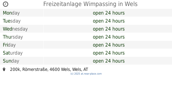
Freizeitanlage Wimpassing
Römerstraße 200k, Wels
Park
read more
11.175 km
Spielplatz Kremspark
Nettingsdorfer Straße 22, Ansfelden
Park
read more
12.048 km
Peter Geusau
Haidingerstraße 33, Buchkirchen
Park
read more
12.15 km
Park
Obere Dorfstraße
Park
read more
14.339 km
Hundefreilauf–Zone
Ansfelden
Park
read more
15.379 km
Spielplatz
Traun
Park
read more
15.696 km
Blick in Richtung Doblerholz
Fellinger Straße, Leonding
Park
read more
16.587 km
Green Habit
Schirmerstraße 28c, Leonding
Park
read more
17.296 km
Brunnenskulptur im Haidgatternpark
Daimlerstraße, Linz
Park
read more
17.433 km
Botanica
Promenade 1, Bad Schallerbach
Park
read more
17.517 km
Laskahofpark
Salzburger Straße 241, Linz
Park
read more
17.641 km
Kleingartenverein Auwiesen
Auwiesenstraße 6, Linz
Park
read more
18.167 km
Drei-Grazien-Brunnen
Schiffmannstraße, Linz
Park
read more
18.845 km
Wasserwald - Wasserschutzgebiet Scharlinz
Brunnenfeldstraße 115, Linz
Park
read more
19.507 km
Landschaftspark Bindermichl-Spallerhof - Bellevuepark
Mühlkreisautobahn, Linz
Park
read more
19.851 km
Jubiläumsbrunnen Einkaufszentrum Niedernhart
Einsteinstraße 5, Linz
Park
read more
19.924 km
Park
Kopernikusstraße, Linz
Park
read more
📑
all categories
Accounting
Administrative area level 1
Administrative area level 2
Airport
Amusement park
Aquarium
Art gallery
Atm
Bakery
Bank
Bar
Beauty salon
Bicycle store
Book store
Bowling alley
Bus station
Cafe
Campground
Car dealer
Car rental
Car repair
Car wash
Casino
Cemetery
Church
City hall
Clothing store
Colloquial area
Convenience store
Country
Courthouse
Dentist
Department store
Doctor
Electrician
Electronics store
Embassy
Finance
Fire station
Florist
Food
Funeral home
Furniture store
Gas station
General contractor
Grocery or supermarket
Gym
Hair care
Hardware store
Health
Hindu Temple
Home goods store
Hospital
Insurance agency
Jewelry store
Laundry
Lawyer
Library
Light rail station
Liquor store
Local government office
Locality
Locksmith
Lodging
Meal delivery
Meal takeaway
Mosque
Movie rental
Movie theater
Moving company
Museum
Natural feature
Neighborhood
Night club
Painter
Park
Parking
Pet store
Pharmacy
Physiotherapist
Place of worship
Plumber
Point of interest
Police
Political
Post office
Premise
Real estate agency
Restaurant
Roofing contractor
Route
Rv park, camping
School
Shoe store
Shopping mall
Spa
Stadium
Storage
Store
Subpremise
Subway station
Supermarket
Synagogue
Taxi stand
Train station
Transit station
Travel agency
University
Veterinary care
Zoo
administrative area level 3
sublocality level 1
↑