Park nearby Remus (Turn 2 Park)
Austria
Park nearby Remus (Turn 2 Park)
Remus (Turn 2 Park)
Unnamed Rd, Ausztria
contacts phone
:
+43
Latitude:
47.2268184
, Longitude:
14.7527352
read more
nearest Park
5.213 km
Max-Eibegger-Park
Knittelfeld
Park
read more
5.831 km
Stadtpark
Knittelfeld
Park
read more
6.286 km
WEGES OG
Josef-Kurz-Gasse 17/5, Knittelfeld
Park
read more
7.553 km
Luchscheider - Gartengeräte, Mähroboter, Nähmaschinen
Bundesstraße 11
Park
read more
9.926 km
Wipfelwanderweg Rachau
Mitterbach 25, Sankt Margarethen bei Knittelfeld
Park
read more
10.895 km
Baumschule Neges
Sankt Lorenzen 111, Sankt Margarethen bei Knittelfeld
Park
read more
22.607 km
Murinsel
Sankt Michael in der Obersteiermark
Park
read more
26.383 km
Gamsfütterung
Leoben, 8700, Leoben
Park
read more
29.683 km
Pestalozzi Park
Leoben,8700, Leoben
Park
read more
30.899 km
Peter Tunner Park
Leoben
Park
read more
31.807 km
Alpengarten Polic
Theodoraweg 11, Judendorf
Park
read more
31.849 km
Kriegerdenkmal
Leoben, 8700, Leoben
Park
read more
32.048 km
Hundewiese
Leoben, 8700, Leoben
Park
read more
34.204 km
Himberger Eck
Hafning bei Trofaiach
Park
read more
34.976 km
Freudenthaler Ruhe
Gemeinde Proleb
Park
read more
44.125 km
Schlossberg Weg
Kupferschmiedgasse 1, Bruck an der Mur
Park
read more
44.229 km
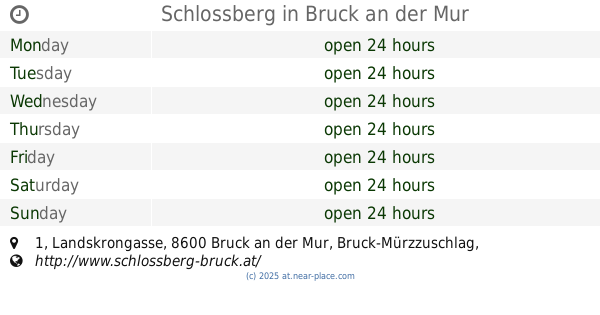
Schlossberg
Landskrongasse 1, Bruck an der Mur
Park
read more
44.28 km
Strabenje ou de nauticus
Aichberg 27, Aichberg
Park
read more
49.994 km
Tschetschonig Forst- und Gartengeräte e. U.
Wimpassing 23, Sankt Andrä
Park
read more
51.114 km
Dechant-Binder-Anlage
Graz
Park
read more
51.161 km
Planetengarten
Eggenberg, Graz
Park
read more
51.586 km
Winterleitnersteig
Wetzelsdorf, Graz
Park
read more
51.654 km
Großer Speikkogel
Sankt Andrä
Park
read more
55.215 km
Arzneigarten
Gemeinde, St. Georgen am Längsee
Park
read more
64.509 km
Garten Erlauer Martin
Blumenstraße 11, Preding
Park
read more
📑
all categories
Accounting
Administrative area level 1
Administrative area level 2
Airport
Amusement park
Aquarium
Art gallery
Atm
Bakery
Bank
Bar
Beauty salon
Bicycle store
Book store
Bowling alley
Bus station
Cafe
Campground
Car dealer
Car rental
Car repair
Car wash
Casino
Cemetery
Church
City hall
Clothing store
Colloquial area
Convenience store
Country
Courthouse
Dentist
Department store
Doctor
Electrician
Electronics store
Embassy
Finance
Fire station
Florist
Food
Funeral home
Furniture store
Gas station
General contractor
Grocery or supermarket
Gym
Hair care
Hardware store
Health
Hindu Temple
Home goods store
Hospital
Insurance agency
Jewelry store
Laundry
Lawyer
Library
Light rail station
Liquor store
Local government office
Locality
Locksmith
Lodging
Meal delivery
Meal takeaway
Mosque
Movie rental
Movie theater
Moving company
Museum
Natural feature
Neighborhood
Night club
Painter
Park
Parking
Pet store
Pharmacy
Physiotherapist
Place of worship
Plumber
Point of interest
Police
Political
Post office
Premise
Real estate agency
Restaurant
Roofing contractor
Route
Rv park, camping
School
Shoe store
Shopping mall
Spa
Stadium
Storage
Store
Subpremise
Subway station
Supermarket
Synagogue
Taxi stand
Train station
Transit station
Travel agency
University
Veterinary care
Zoo
administrative area level 3
sublocality level 1
↑