Parking nearby Park & Fly
Austria
Parking nearby Park & Fly
Park & Fly
Mannswörther Straße 66, Schwechat Ausztria
contacts phone
:
+43
Latitude:
48.1488656
, Longitude:
16.5109828
read more
nearest Parking
277 m
Flughafenparkplatz hein
Danubiastraße 11
Parking
read more
1.234 km
TA SW Ersatzparkplatz
Südrandstraße 4, Schwechat
Parking
read more
1.883 km
Parking
Pressburger Straße 1
Parking
read more
1.944 km
Parktiger Flughafenparkplatz
Eisteichstraße 20, Schwechat
Parking
read more
2.167 km
Park & Ride facility Schwechat
Industriestraße 4, Schwechat
Parking
read more
2.167 km
Park&Ride Anlage Schwechat
Industriestraße 4, Schwechat
Parking
read more
2.245 km
Parking
Schwechat
Parking
read more
2.387 km
P+R Schwechat
Bahngasse 2, Schwechat
Parking
read more
2.515 km
Park & Fly
Ludwig Poihs-Straße 1, Schwechat
Parking
read more
2.788 km
Ekazent Schwechat
Schmidgasse 4, Schwechat
Parking
read more
3.203 km
Mazur Parkplatz
Hainburger Bundesstraße 143, Schwechat
Parking
read more
3.548 km
Parkplatz Panozzalacke
Unnamed Road,1220, Wien
Parking
read more
3.95 km
PB Airportparkservice & Car Kosmetik e.U.
Himberger Straße 64, Schwechat
Parking
read more
4.42 km
Parkhaus 8
Nordstraße, Wien-Flughafen
Parking
read more
4.634 km
Parking 3, Facturación 3
Wien-Flughafen
Parking
read more
4.641 km
[P] Parkplatz Airport Wien
Parking
read more
4.674 km
[P] Parkhaus 3
Ausweichstraße, Wien-Flughafen
Parking
read more
4.684 km
AUA Parkhaus Vienna Airport
Verbindungsstraße
Parking
read more
4.746 km
[P] Parking Vienna Airport C
Schwechat
Parking
read more
4.822 km
Parkplatz K1
Abflugstraße, Wien-Flughafen
Parking
read more
4.84 km
Garage Office Park 2
Verbindungsstraße, Wien-Flughafen
Parking
read more
4.876 km
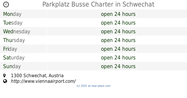
Parkplatz Busse Charter
Parking
read more
4.88 km
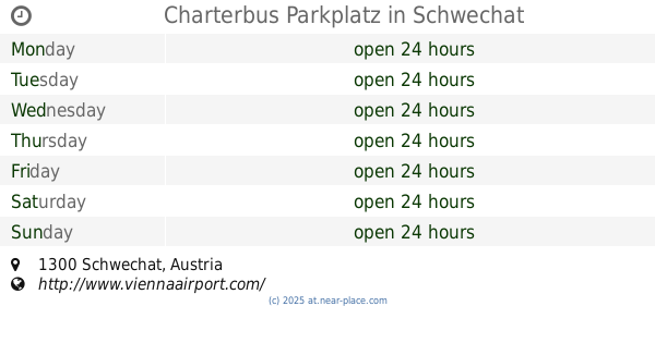
Charterbus Parkplatz
Schwechat
Parking
read more
5.022 km
[P] Kurzparkplatz K3
Parking
read more
5.047 km
Parking 4
Wien-Flughafen
Parking
read more
📑
all categories
Accounting
Administrative area level 1
Administrative area level 2
Airport
Amusement park
Aquarium
Art gallery
Atm
Bakery
Bank
Bar
Beauty salon
Bicycle store
Book store
Bowling alley
Bus station
Cafe
Campground
Car dealer
Car rental
Car repair
Car wash
Casino
Cemetery
Church
City hall
Clothing store
Colloquial area
Convenience store
Country
Courthouse
Dentist
Department store
Doctor
Electrician
Electronics store
Embassy
Finance
Fire station
Florist
Food
Funeral home
Furniture store
Gas station
General contractor
Grocery or supermarket
Gym
Hair care
Hardware store
Health
Hindu Temple
Home goods store
Hospital
Insurance agency
Jewelry store
Laundry
Lawyer
Library
Light rail station
Liquor store
Local government office
Locality
Locksmith
Lodging
Meal delivery
Meal takeaway
Mosque
Movie rental
Movie theater
Moving company
Museum
Natural feature
Neighborhood
Night club
Painter
Park
Parking
Pet store
Pharmacy
Physiotherapist
Place of worship
Plumber
Point of interest
Police
Political
Post office
Premise
Real estate agency
Restaurant
Roofing contractor
Route
Rv park, camping
School
Shoe store
Shopping mall
Spa
Stadium
Storage
Store
Subpremise
Subway station
Supermarket
Synagogue
Taxi stand
Train station
Transit station
Travel agency
University
Veterinary care
Zoo
administrative area level 3
sublocality level 1
↑